Manor Road
Introduction
The photograph on this page of Manor Road by E Gammie as part of the Geograph project.
The Geograph project started in 2005 with the aim of publishing, organising and preserving representative images for every square kilometre of Great Britain, Ireland and the Isle of Man.

There are currently over 7.5m images from over 14,400 individuals and you can help contribute to the project by visiting https://www.geograph.org.uk
Manor Road
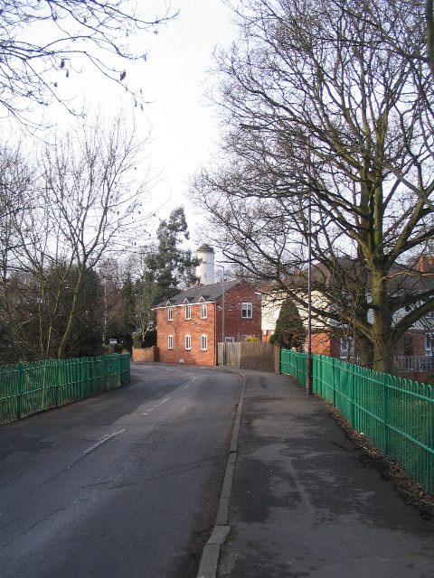
Image: © E Gammie Taken: 30 Jan 2008
At Washbrook Bridge over the Finham Brook. Tainters Hill Mill (otherwise known as the Water Tower) behind the building in the centre.
Images are licensed for reuse under creativecommons.org/licenses/by-sa/2.0
Image Location


Leaflet Map data © OpenStreetMap
Latitude
52.351332
Longitude
-1.57449