Hoxton Road, Ellacombe
Introduction
The photograph on this page of Hoxton Road, Ellacombe by Derek Harper as part of the Geograph project.
The Geograph project started in 2005 with the aim of publishing, organising and preserving representative images for every square kilometre of Great Britain, Ireland and the Isle of Man.

There are currently over 7.5m images from over 14,400 individuals and you can help contribute to the project by visiting https://www.geograph.org.uk
Hoxton Road, Ellacombe
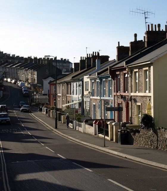
Image: © Derek Harper Taken: 26 Jan 2008
This northern stretch of the road slopes gently from its junction with Ellacombe Church Road, opposite the church (behind the camera). From the junction on the left of the photo, 120 metres away, Hoxton Road winds very steeply upwards towards the Warberries.
Images are licensed for reuse under creativecommons.org/licenses/by-sa/2.0
Image Location
Latitude
50.470784
Longitude
-3.524072