Upper Lattimore Road
Introduction
The photograph on this page of Upper Lattimore Road by Ian Capper as part of the Geograph project.
The Geograph project started in 2005 with the aim of publishing, organising and preserving representative images for every square kilometre of Great Britain, Ireland and the Isle of Man.

There are currently over 7.5m images from over 14,400 individuals and you can help contribute to the project by visiting https://www.geograph.org.uk
Upper Lattimore Road
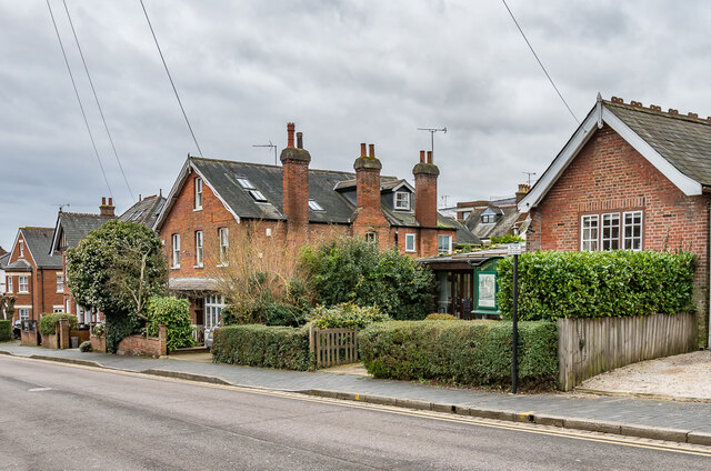
Image: © Ian Capper Taken: 21 Feb 2020
Late Victorian buildings in Upper Lattimore Road. That on the right is the St Albans Quakers Meeting House, a former school room bought by the Quakers in 1912 and subsequently extended over the years.
Images are licensed for reuse under creativecommons.org/licenses/by-sa/2.0
Image Location


Leaflet Map data © OpenStreetMap
Latitude
51.751398
Longitude
-0.332633