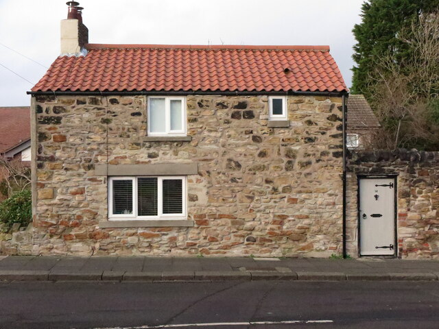
Garden Cottage, Bygate Road, Monkseaton
Introduction
The photograph on this page of Garden Cottage, Bygate Road, Monkseaton by Geoff Holland as part of the Geograph project.
The Geograph project started in 2005 with the aim of publishing, organising and preserving representative images for every square kilometre of Great Britain, Ireland and the Isle of Man.
There are currently over 7.5m images from over 14,400 individuals and you can help contribute to the project by visiting https://www.geograph.org.uk

Image: © Geoff Holland Taken: 18 Jan 2021
This stone building, which is clearly shown on the first Ordnance Survey Six-Inch map of the area published in 1865, was described in the 'Monkseaton Conservation Area Character Appraisal', published by North Tyneside Council in October 2006 as, "an important example of the more diminutive outhouses and cottages which must have characterised Bygate Road, Back Lane and The Fold before suburbanisation". During the 1840s it was said to have been known known as "Ramsay's Fort" because the owner, a certain Robert Ramsay, was supposed to have two imitation cannons on the roof, with the intention of frightening away the French should they ever invade". For a selection of detailed free to download walking routes in the area visit www.northtynesidewalks.co.uk

