Path along Broadpark Road, Livermead
Introduction
The photograph on this page of Path along Broadpark Road, Livermead by Derek Harper as part of the Geograph project.
The Geograph project started in 2005 with the aim of publishing, organising and preserving representative images for every square kilometre of Great Britain, Ireland and the Isle of Man.

There are currently over 7.5m images from over 14,400 individuals and you can help contribute to the project by visiting https://www.geograph.org.uk
Path along Broadpark Road, Livermead
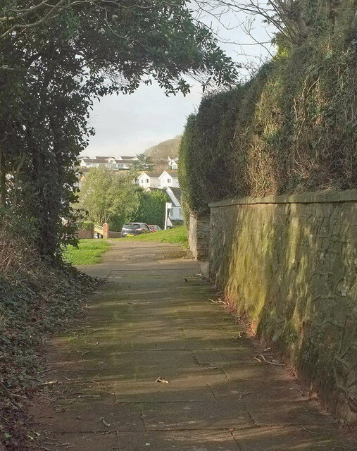
Image: © Derek Harper Taken: 15 Jan 2021
The path runs behind trees, separating it from the road for well over 100 metres and guiding the pedestrian to a relatively safe crossing at the junction behind the camera shown in Image
Images are licensed for reuse under creativecommons.org/licenses/by-sa/2.0
Image Location
Latitude
50.455085
Longitude
-3.554982