Path round the perimeter of Cabbage Hill
Introduction
The photograph on this page of Path round the perimeter of Cabbage Hill by Stephen Craven as part of the Geograph project.
The Geograph project started in 2005 with the aim of publishing, organising and preserving representative images for every square kilometre of Great Britain, Ireland and the Isle of Man.

There are currently over 7.5m images from over 14,400 individuals and you can help contribute to the project by visiting https://www.geograph.org.uk
Path round the perimeter of Cabbage Hill
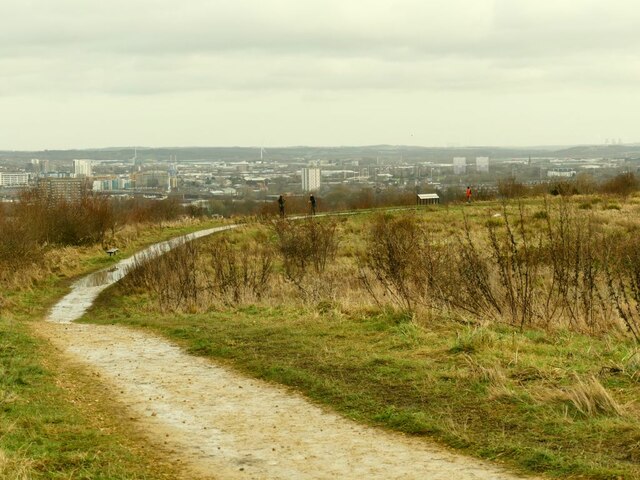
Image: © Stephen Craven Taken: 17 Jan 2021
Cabbage Hill is now a public open space on high ground above Wortley, but the eastern and western ends of the site are landfill to a former quarry and claypit.
Images are licensed for reuse under creativecommons.org/licenses/by-sa/2.0
Image Location
Latitude
53.790754
Longitude
-1.598625