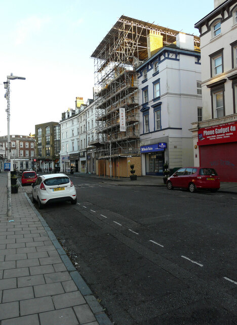
Sandgate Road
Introduction
The photograph on this page of Sandgate Road by John Baker as part of the Geograph project.
The Geograph project started in 2005 with the aim of publishing, organising and preserving representative images for every square kilometre of Great Britain, Ireland and the Isle of Man.
There are currently over 7.5m images from over 14,400 individuals and you can help contribute to the project by visiting https://www.geograph.org.uk

Image: © John Baker Taken: 25 Dec 2020
The premises being converted used to be a William Hill betting shop, for which planning permission has been approved by Folkestone and Hythe District Council under application number 19/0568/FH for the “change of use and conversion of vacant upper floor offices into 7 self-contained flats with external alterations, including new rear dormers, new roof lights & replacement treated timber windows & doors”. Part of a two hour walk through Folkestone, from Radnor Park to the harbour, on Christmas Day afternoon between 14:00 and 16:00 hours.

