Belvedere Close
Introduction
The photograph on this page of Belvedere Close by Malcolm Neal as part of the Geograph project.
The Geograph project started in 2005 with the aim of publishing, organising and preserving representative images for every square kilometre of Great Britain, Ireland and the Isle of Man.

There are currently over 7.5m images from over 14,400 individuals and you can help contribute to the project by visiting https://www.geograph.org.uk
Belvedere Close
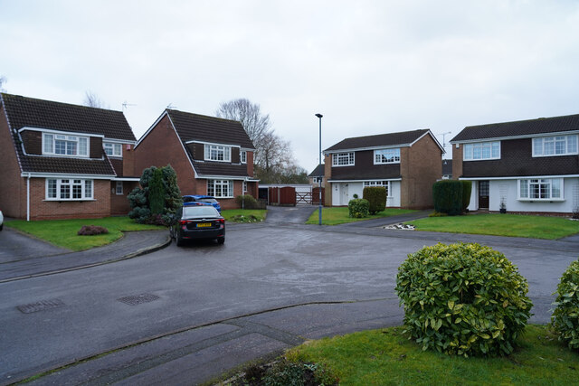
Image: © Malcolm Neal Taken: 16 Jan 2021
Mickleover is composed of many such cul-de-sacs. Presumably designed to reduce through traffic and so make living here quieter from a traffic point of view.
Images are licensed for reuse under creativecommons.org/licenses/by-sa/2.0
Image Location
Latitude
52.91533
Longitude
-1.544598