Woodland, The Avenues
Introduction
The photograph on this page of Woodland, The Avenues by Derek Harper as part of the Geograph project.
The Geograph project started in 2005 with the aim of publishing, organising and preserving representative images for every square kilometre of Great Britain, Ireland and the Isle of Man.

There are currently over 7.5m images from over 14,400 individuals and you can help contribute to the project by visiting https://www.geograph.org.uk
Woodland, The Avenues
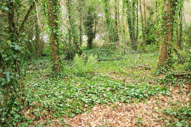
Image: © Derek Harper Taken: 12 Jan 2021
Steep woodland below the John Musgrave Heritage Trail, dropping down to Padacre Road.
Images are licensed for reuse under creativecommons.org/licenses/by-sa/2.0
Image Location
Latitude
50.498828
Longitude
-3.532166