Beryl Farm
Introduction
The photograph on this page of Beryl Farm by Ian Capper as part of the Geograph project.
The Geograph project started in 2005 with the aim of publishing, organising and preserving representative images for every square kilometre of Great Britain, Ireland and the Isle of Man.

There are currently over 7.5m images from over 14,400 individuals and you can help contribute to the project by visiting https://www.geograph.org.uk
Beryl Farm
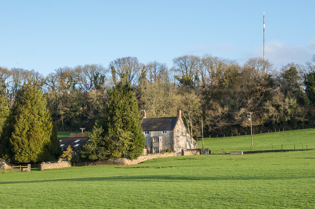
Image: © Ian Capper Taken: 12 Feb 2020
Farmhouse on the outskirts of Wells. In the background is Mendip Transmitting Station on Pen Hill.
Images are licensed for reuse under creativecommons.org/licenses/by-sa/2.0
Image Location
Latitude
51.220112
Longitude
-2.629901