The Upper Bristol Road in Clutton
Introduction
The photograph on this page of The Upper Bristol Road in Clutton by Neil Owen as part of the Geograph project.
The Geograph project started in 2005 with the aim of publishing, organising and preserving representative images for every square kilometre of Great Britain, Ireland and the Isle of Man.

There are currently over 7.5m images from over 14,400 individuals and you can help contribute to the project by visiting https://www.geograph.org.uk
The Upper Bristol Road in Clutton
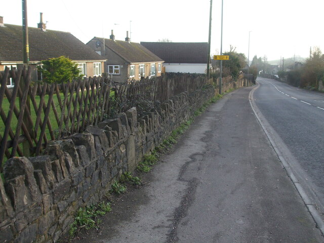
Image: © Neil Owen Taken: 15 Jan 2021
The busy A37, opposite the old Warick Arms pub of late, has a milestone in the wall. See Image] for a closer look.
Images are licensed for reuse under creativecommons.org/licenses/by-sa/2.0
Image Location
Latitude
51.332051
Longitude
-2.547824