The road to Greyfield Wood
Introduction
The photograph on this page of The road to Greyfield Wood by Neil Owen as part of the Geograph project.
The Geograph project started in 2005 with the aim of publishing, organising and preserving representative images for every square kilometre of Great Britain, Ireland and the Isle of Man.

There are currently over 7.5m images from over 14,400 individuals and you can help contribute to the project by visiting https://www.geograph.org.uk
The road to Greyfield Wood
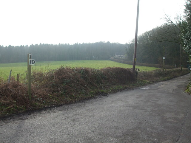
Image: © Neil Owen Taken: 15 Jan 2021
The lane was once part of the old colliery and leads to the woods that were used by it. A farm now stands at the end.
Images are licensed for reuse under creativecommons.org/licenses/by-sa/2.0
Image Location


Leaflet Map data © OpenStreetMap
Latitude
51.325625
Longitude
-2.517609