Boundary Road, Beeston
Introduction
The photograph on this page of Boundary Road, Beeston by David Lally as part of the Geograph project.
The Geograph project started in 2005 with the aim of publishing, organising and preserving representative images for every square kilometre of Great Britain, Ireland and the Isle of Man.

There are currently over 7.5m images from over 14,400 individuals and you can help contribute to the project by visiting https://www.geograph.org.uk
Boundary Road, Beeston
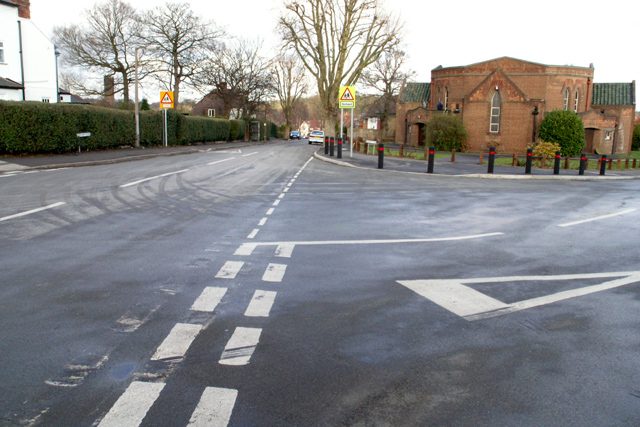
Image: © David Lally Taken: 30 Jan 2008
The Beeston United Reformed Church sits on the junction of Boundary Road and Wedsor Avenue. The boundary between The City of Nottingham and (what is now) The Borough of Broxtowe runs next to this road (both sides are in Broxtowe). Wensor Avenue to the right is bisected by the boundary, which is subject to no sign or change in architecture.
Images are licensed for reuse under creativecommons.org/licenses/by-sa/2.0
Image Location
Latitude
52.934202
Longitude
-1.215893