Road closed - Twentywell Lane
Introduction
The photograph on this page of Road closed - Twentywell Lane by Chris Morgan as part of the Geograph project.
The Geograph project started in 2005 with the aim of publishing, organising and preserving representative images for every square kilometre of Great Britain, Ireland and the Isle of Man.

There are currently over 7.5m images from over 14,400 individuals and you can help contribute to the project by visiting https://www.geograph.org.uk
Road closed - Twentywell Lane
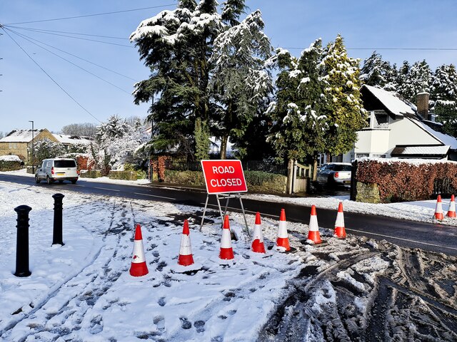
Image: © Chris Morgan Taken: 15 Jan 2021
After heavy snow fall and accidents the previous day. However the road was being safely used at this time.
Images are licensed for reuse under creativecommons.org/licenses/by-sa/2.0
Image Location
Latitude
53.319143
Longitude
-1.505486