East Howe: Leybourne Close
Introduction
The photograph on this page of East Howe: Leybourne Close by Chris Downer as part of the Geograph project.
The Geograph project started in 2005 with the aim of publishing, organising and preserving representative images for every square kilometre of Great Britain, Ireland and the Isle of Man.

There are currently over 7.5m images from over 14,400 individuals and you can help contribute to the project by visiting https://www.geograph.org.uk
East Howe: Leybourne Close
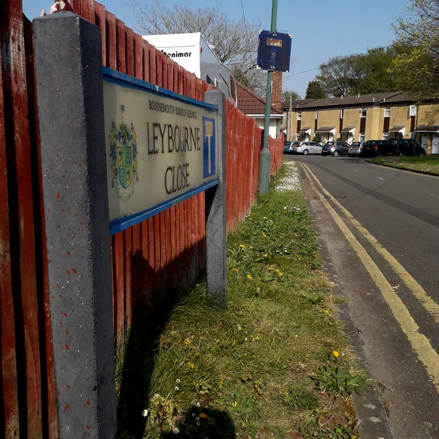
Image: © Chris Downer Taken: 10 Apr 2020
A short cul-de-sac of the detached segment of Leybourne Avenue (Image), appearing on street plans by about 1972, which seems about right judging by the little terrace of council houses which we can see in the distance. The road sign is a standard one from around 2000-2006, perhaps a little earlier, featuring the borough coat of arms and incorporating a no-through-road sign. This is photo no.243 of a series of 453 in my coronavirus lockdown walking project: See https://www.geograph.org.uk/article/My-2020-Coronavirus-Lockdown-walking-project for the complete set of photos.
Images are licensed for reuse under creativecommons.org/licenses/by-sa/2.0
Image Location
Latitude
50.765972
Longitude
-1.896154