Northwest and downhill on Cliff Road, Seaford
Introduction
The photograph on this page of Northwest and downhill on Cliff Road, Seaford by Robin Stott as part of the Geograph project.
The Geograph project started in 2005 with the aim of publishing, organising and preserving representative images for every square kilometre of Great Britain, Ireland and the Isle of Man.

There are currently over 7.5m images from over 14,400 individuals and you can help contribute to the project by visiting https://www.geograph.org.uk
Northwest and downhill on Cliff Road, Seaford
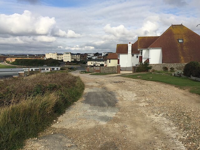
Image: © Robin Stott Taken: 17 Oct 2020
Cliff Road is one of a number of named roads locally, lined with substantial houses, but apparently unadopted by the highway authority, hence unmetalled. The cream-painted block of flats left of centre is referred to on a streetmap as The Lodge but by estate agents' websites as Corsica Hall.
Images are licensed for reuse under creativecommons.org/licenses/by-sa/2.0
Image Location
Latitude
50.766294
Longitude
0.108661