Pockmarked benchmark on the inn
Introduction
The photograph on this page of Pockmarked benchmark on the inn by Neil Owen as part of the Geograph project.
The Geograph project started in 2005 with the aim of publishing, organising and preserving representative images for every square kilometre of Great Britain, Ireland and the Isle of Man.

There are currently over 7.5m images from over 14,400 individuals and you can help contribute to the project by visiting https://www.geograph.org.uk
Pockmarked benchmark on the inn
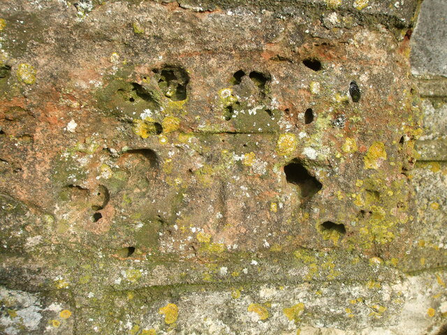
Image: © Neil Owen Taken: 15 Jan 2021
The corner stone of the Hunters Rest Inn was selected in the twentieth century for an Ordnance Survey benchmark. Over the course of time the inn expanded so this is no longer at the corner; the stone has also suffered some degradation. See https://www.bench-marks.org.uk/bm78863 for the entry in the Benchmark Database and Image] for a wider view.
Images are licensed for reuse under creativecommons.org/licenses/by-sa/2.0
Image Location
Latitude
51.338167
Longitude
-2.527943