King Lane bridge benchmark
Introduction
The photograph on this page of King Lane bridge benchmark by Neil Owen as part of the Geograph project.
The Geograph project started in 2005 with the aim of publishing, organising and preserving representative images for every square kilometre of Great Britain, Ireland and the Isle of Man.

There are currently over 7.5m images from over 14,400 individuals and you can help contribute to the project by visiting https://www.geograph.org.uk
King Lane bridge benchmark
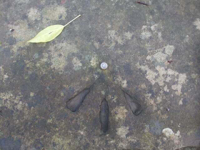
Image: © Neil Owen Taken: 15 Jan 2021
A rivet benchmark lies on the old railway bridge on King Lane. See https://www.bench-marks.org.uk/bm139425 for the entry in the Benchmark Database and Image] for a wider view.
Images are licensed for reuse under creativecommons.org/licenses/by-sa/2.0
Image Location


Leaflet Map data © OpenStreetMap
Latitude
51.338301
Longitude
-2.538137