The old railway bridge on King Lane
Introduction
The photograph on this page of The old railway bridge on King Lane by Neil Owen as part of the Geograph project.
The Geograph project started in 2005 with the aim of publishing, organising and preserving representative images for every square kilometre of Great Britain, Ireland and the Isle of Man.

There are currently over 7.5m images from over 14,400 individuals and you can help contribute to the project by visiting https://www.geograph.org.uk
The old railway bridge on King Lane
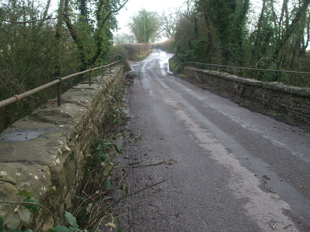
Image: © Neil Owen Taken: 15 Jan 2021
The old North Somerset railway used to pass through Fry's Bottom Wood and under this bridge until its closure in the 1950s. A rivet benchmark can be found on the north parapet - see Image
Images are licensed for reuse under creativecommons.org/licenses/by-sa/2.0
Image Location


Leaflet Map data © OpenStreetMap
Latitude
51.33839
Longitude
-2.538281