Clutton Primary School
Introduction
The photograph on this page of Clutton Primary School by Neil Owen as part of the Geograph project.
The Geograph project started in 2005 with the aim of publishing, organising and preserving representative images for every square kilometre of Great Britain, Ireland and the Isle of Man.

There are currently over 7.5m images from over 14,400 individuals and you can help contribute to the project by visiting https://www.geograph.org.uk
Clutton Primary School
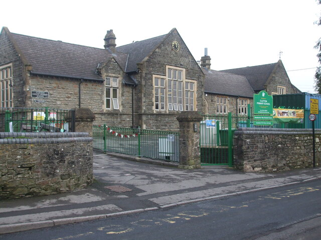
Image: © Neil Owen Taken: 15 Jan 2021
The village school, a twentieth century building. Previously the school was a couple of doors up Cooks Hill. The Covid-19 problem has made it rather quieter than it would normally be.
Images are licensed for reuse under creativecommons.org/licenses/by-sa/2.0
Image Location
Latitude
51.330913
Longitude
-2.541352