Farmland by Belvoir Road
Introduction
The photograph on this page of Farmland by Belvoir Road by Kate Jewell as part of the Geograph project.
The Geograph project started in 2005 with the aim of publishing, organising and preserving representative images for every square kilometre of Great Britain, Ireland and the Isle of Man.

There are currently over 7.5m images from over 14,400 individuals and you can help contribute to the project by visiting https://www.geograph.org.uk
Farmland by Belvoir Road
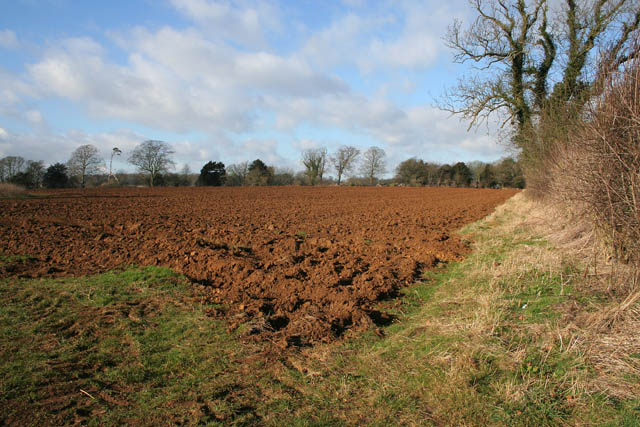
Image: © Kate Jewell Taken: 30 Jan 2008
The Belvoir Estate wood yard and saw mill are in the trees to the far right, just in Image Note the orange colour of the iron rich soil.
Images are licensed for reuse under creativecommons.org/licenses/by-sa/2.0
Image Location
Latitude
52.878601
Longitude
-0.792215