Pipe outflow in Broomhill Wood
Introduction
The photograph on this page of Pipe outflow in Broomhill Wood by Lairich Rig as part of the Geograph project.
The Geograph project started in 2005 with the aim of publishing, organising and preserving representative images for every square kilometre of Great Britain, Ireland and the Isle of Man.

There are currently over 7.5m images from over 14,400 individuals and you can help contribute to the project by visiting https://www.geograph.org.uk
Pipe outflow in Broomhill Wood
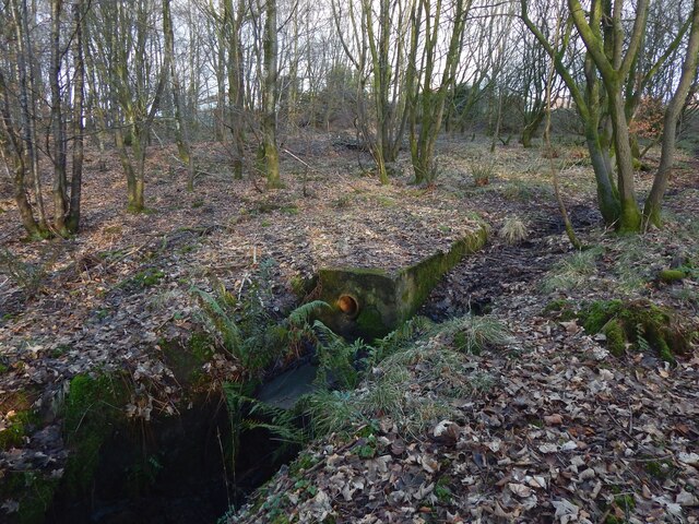
Image: © Lairich Rig Taken: 5 Jan 2021
The 1:25000 map depicts the burn that flows along its near side. In the background are houses on Broomhill Crescent, at the southern extremity of the Beechwood and Wheatcroft Estate, but, even in winter, they are not easily discerned in photographs taken from this spot.
Images are licensed for reuse under creativecommons.org/licenses/by-sa/2.0
Image Location
Latitude
55.970273
Longitude
-4.554862