Old Boundary Marker on Rock Bridge, Whitewell Bottom
Introduction
The photograph on this page of Old Boundary Marker on Rock Bridge, Whitewell Bottom by D Phillips as part of the Geograph project.
The Geograph project started in 2005 with the aim of publishing, organising and preserving representative images for every square kilometre of Great Britain, Ireland and the Isle of Man.

There are currently over 7.5m images from over 14,400 individuals and you can help contribute to the project by visiting https://www.geograph.org.uk
Old Boundary Marker on Rock Bridge, Whitewell Bottom
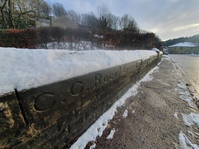
Image: © D Phillips Taken: 12 Jan 2021
Bridge Marker set in the east parapet of Rock Bridge, Whitewell Brook, on the B6238 at Whitewell Bottom, Rossendale. Inscribed C C ROCK BRIDGE. Milestone Society National ID: LA_RAWTEN10br
Images are licensed for reuse under creativecommons.org/licenses/by-sa/2.0
Image Location
Latitude
53.714385
Longitude
-2.251359