Waye House
Introduction
The photograph on this page of Waye House by Derek Harper as part of the Geograph project.
The Geograph project started in 2005 with the aim of publishing, organising and preserving representative images for every square kilometre of Great Britain, Ireland and the Isle of Man.

There are currently over 7.5m images from over 14,400 individuals and you can help contribute to the project by visiting https://www.geograph.org.uk
Waye House
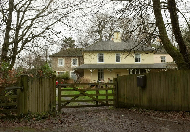
Image: © Derek Harper Taken: 2 Jan 2021
"Now divided into 3 dwellings. Said to have been built in 1829" https://historicengland.org.uk/listing/the-list/list-entry/1206244 . Seen from Ashburton footpath 16.
Images are licensed for reuse under creativecommons.org/licenses/by-sa/2.0
Image Location
Latitude
50.534077
Longitude
-3.737494