Bridge over former course of River Can
Introduction
The photograph on this page of Bridge over former course of River Can by Robin Webster as part of the Geograph project.
The Geograph project started in 2005 with the aim of publishing, organising and preserving representative images for every square kilometre of Great Britain, Ireland and the Isle of Man.

There are currently over 7.5m images from over 14,400 individuals and you can help contribute to the project by visiting https://www.geograph.org.uk
Bridge over former course of River Can
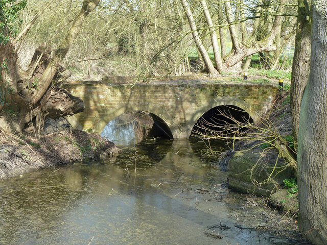
Image: © Robin Webster Taken: 25 Mar 2012
This acted as a bypass for the former Beach's Mill. It is now filled in behind the viewpoint, all the river goes over the modern weir at the mill site.
Images are licensed for reuse under creativecommons.org/licenses/by-sa/2.0
Image Location
Latitude
51.737434
Longitude
0.44741