A338 south of Marr Green, Wiltshire
Introduction
The photograph on this page of A338 south of Marr Green, Wiltshire by Brian Robert Marshall as part of the Geograph project.
The Geograph project started in 2005 with the aim of publishing, organising and preserving representative images for every square kilometre of Great Britain, Ireland and the Isle of Man.

There are currently over 7.5m images from over 14,400 individuals and you can help contribute to the project by visiting https://www.geograph.org.uk
A338 south of Marr Green, Wiltshire
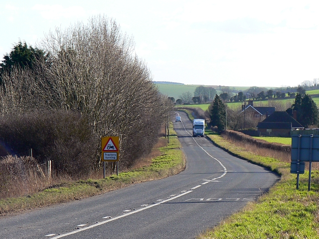
Image: © Brian Robert Marshall Taken: 30 Jan 2008
This is one of the main north-south routes through Wiltshire. It has some fast stretches, like this one, but also some slow bits through the villages south of here.
Images are licensed for reuse under creativecommons.org/licenses/by-sa/2.0
Image Location


Leaflet Map data © OpenStreetMap
Latitude
51.325515
Longitude
-1.676613