Branston Lane
Introduction
The photograph on this page of Branston Lane by Kate Jewell as part of the Geograph project.
The Geograph project started in 2005 with the aim of publishing, organising and preserving representative images for every square kilometre of Great Britain, Ireland and the Isle of Man.

There are currently over 7.5m images from over 14,400 individuals and you can help contribute to the project by visiting https://www.geograph.org.uk
Branston Lane
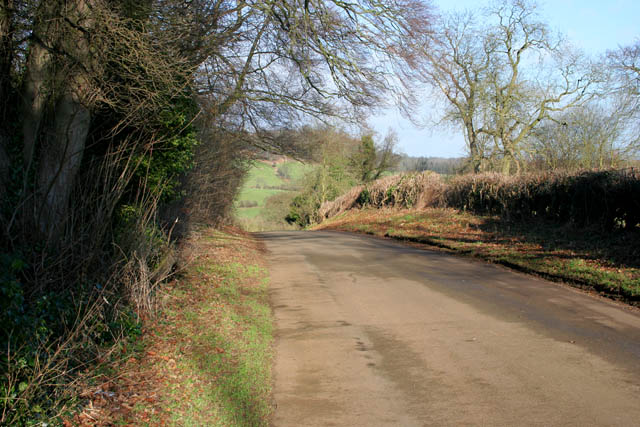
Image: © Kate Jewell Taken: 30 Jan 2008
This narrow country road joins Branston to Knipton. Just outside Branston it dip sharply only to climb steeply up the hill to the east of Knipton Reservoir. Here, just before it descends into Knipton, it is about 110 metres above sea level. The hill in the distance is on the edge of the Belvoir estate at about 130 metres.
Images are licensed for reuse under creativecommons.org/licenses/by-sa/2.0
Image Location
Latitude
52.867174
Longitude
-0.782431