Street leading to Bristol Downs
Introduction
The photograph on this page of Street leading to Bristol Downs by Neville Goodman as part of the Geograph project.
The Geograph project started in 2005 with the aim of publishing, organising and preserving representative images for every square kilometre of Great Britain, Ireland and the Isle of Man.

There are currently over 7.5m images from over 14,400 individuals and you can help contribute to the project by visiting https://www.geograph.org.uk
Street leading to Bristol Downs
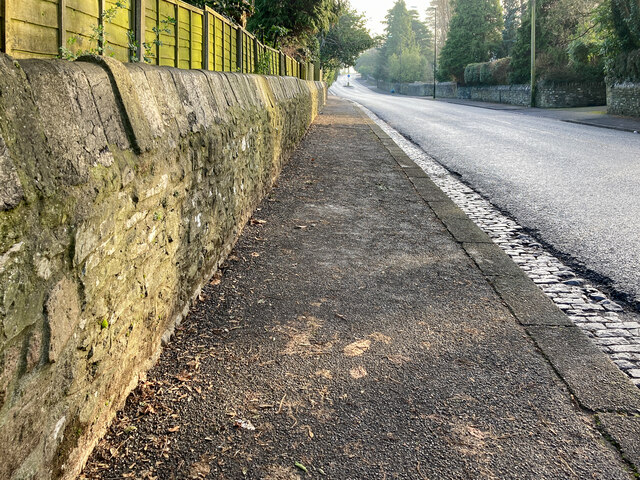
Image: © Neville Goodman Taken: 10 Jan 2021
Looking along Stoke Hill towards The Downs, there is an OS benchmark Image low down on the wall on the left.
Images are licensed for reuse under creativecommons.org/licenses/by-sa/2.0
Image Location
Latitude
51.475075
Longitude
-2.626568