Nutley Lane
Introduction
The photograph on this page of Nutley Lane by Ian Capper as part of the Geograph project.
The Geograph project started in 2005 with the aim of publishing, organising and preserving representative images for every square kilometre of Great Britain, Ireland and the Isle of Man.

There are currently over 7.5m images from over 14,400 individuals and you can help contribute to the project by visiting https://www.geograph.org.uk
Nutley Lane
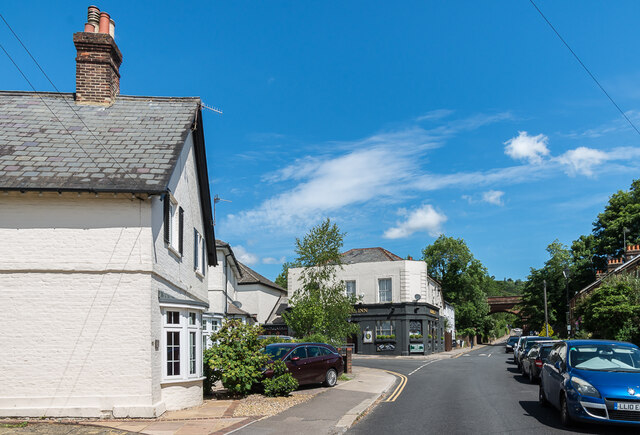
Image: © Ian Capper Taken: 13 Jun 2020
Looking north along Nutley Lane to the Admiral Inn and the bridge carrying the Redhill - Guildford North Downs Line over the road.
Images are licensed for reuse under creativecommons.org/licenses/by-sa/2.0
Image Location
Latitude
51.242809
Longitude
-0.211944