Albert Road North
Introduction
The photograph on this page of Albert Road North by Ian Capper as part of the Geograph project.
The Geograph project started in 2005 with the aim of publishing, organising and preserving representative images for every square kilometre of Great Britain, Ireland and the Isle of Man.

There are currently over 7.5m images from over 14,400 individuals and you can help contribute to the project by visiting https://www.geograph.org.uk
Albert Road North
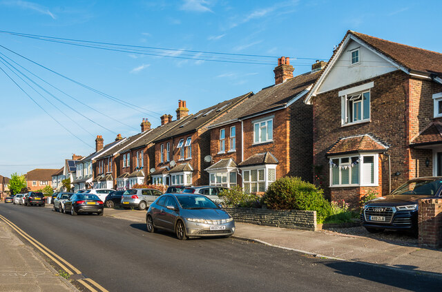
Image: © Ian Capper Taken: 8 May 2020
Largely early 20th Century housing in Albert Road North. In the left background is Churchfield Road, a 1990s development on the site of a former essence factory, and before that the photographic works of Francis Frith & Co. See Image for a closer view.
Images are licensed for reuse under creativecommons.org/licenses/by-sa/2.0
Image Location
Latitude
51.242703
Longitude
-0.213238