24 Sunderland Avenue
Introduction
The photograph on this page of 24 Sunderland Avenue by Ian Capper as part of the Geograph project.
The Geograph project started in 2005 with the aim of publishing, organising and preserving representative images for every square kilometre of Great Britain, Ireland and the Isle of Man.

There are currently over 7.5m images from over 14,400 individuals and you can help contribute to the project by visiting https://www.geograph.org.uk
24 Sunderland Avenue
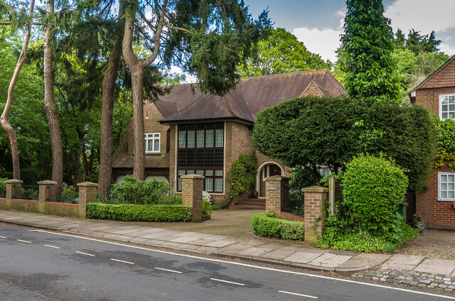
Image: © Ian Capper Taken: 1 May 2020
Large house at the north end of Sunderland Avenue, a road connecting Sandpit Lane and Jennings Road which maps suggest was developed around the 1920s/30s.
Images are licensed for reuse under creativecommons.org/licenses/by-sa/2.0
Image Location
Latitude
51.758562
Longitude
-0.317908