Up river to Topcliffe Bridge
Introduction
The photograph on this page of Up river to Topcliffe Bridge by Gordon Hatton as part of the Geograph project.
The Geograph project started in 2005 with the aim of publishing, organising and preserving representative images for every square kilometre of Great Britain, Ireland and the Isle of Man.

There are currently over 7.5m images from over 14,400 individuals and you can help contribute to the project by visiting https://www.geograph.org.uk
Up river to Topcliffe Bridge
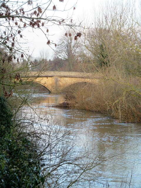
Image: © Gordon Hatton Taken: 7 Jan 2021
January 2021, and the river is somewhere near a normal level, having recently dropped from flood levels thanks to a spell of drier weather and icy conditions holding back water draining off fields etc. The Swale rarely flows with a consistent level. Being a spate river it either seems to be on the rise or the fall. Drought conditions can see it become so low that one could wade through it, whilst heavy rains upstream can cause it to flood into nearby fields and threaten the riverside holiday park.
Images are licensed for reuse under creativecommons.org/licenses/by-sa/2.0
Image Location
Latitude
54.177797
Longitude
-1.391583