Flats, Crossveggate
Introduction
The photograph on this page of Flats, Crossveggate by Richard Sutcliffe as part of the Geograph project.
The Geograph project started in 2005 with the aim of publishing, organising and preserving representative images for every square kilometre of Great Britain, Ireland and the Isle of Man.

There are currently over 7.5m images from over 14,400 individuals and you can help contribute to the project by visiting https://www.geograph.org.uk
Flats, Crossveggate
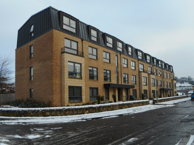
Image: © Richard Sutcliffe Taken: 7 Jan 2021
The name of the street, Crossveggate, comes from the former Crossveggate Farm which used to be about a hundred metres to the south of here.
Images are licensed for reuse under creativecommons.org/licenses/by-sa/2.0
Image Location
Latitude
55.940004
Longitude
-4.312818