Waverley Housing Development
Introduction
The photograph on this page of Waverley Housing Development by Graham Hogg as part of the Geograph project.
The Geograph project started in 2005 with the aim of publishing, organising and preserving representative images for every square kilometre of Great Britain, Ireland and the Isle of Man.

There are currently over 7.5m images from over 14,400 individuals and you can help contribute to the project by visiting https://www.geograph.org.uk
Waverley Housing Development
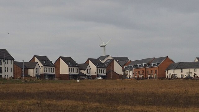
Image: © Graham Hogg Taken: 4 Jan 2021
Houses in the early stage of a planned 3,900 home development on a brownfield site. The wind turbine is part of the associated Advanced Manufacturing Park. https://investrotherham.com/developments/waverley-community/
Images are licensed for reuse under creativecommons.org/licenses/by-sa/2.0
Image Location
Latitude
53.379795
Longitude
-1.367534