Former Kinglassie Colliery Line
Introduction
The photograph on this page of Former Kinglassie Colliery Line by Becky Williamson as part of the Geograph project.
The Geograph project started in 2005 with the aim of publishing, organising and preserving representative images for every square kilometre of Great Britain, Ireland and the Isle of Man.

There are currently over 7.5m images from over 14,400 individuals and you can help contribute to the project by visiting https://www.geograph.org.uk
Former Kinglassie Colliery Line
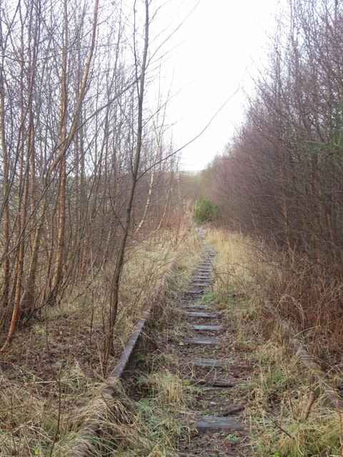
Image: © Becky Williamson Taken: 28 Dec 2020
This part of the line extended to Redford. For more information about this line see https://railscot.co.uk/locations/K/Kinglassie_Colliery/.
Images are licensed for reuse under creativecommons.org/licenses/by-sa/2.0
Image Location
Latitude
56.168786
Longitude
-3.223957