March and Burn
Introduction
The photograph on this page of March and Burn by Anne Burgess as part of the Geograph project.
The Geograph project started in 2005 with the aim of publishing, organising and preserving representative images for every square kilometre of Great Britain, Ireland and the Isle of Man.

There are currently over 7.5m images from over 14,400 individuals and you can help contribute to the project by visiting https://www.geograph.org.uk
March and Burn
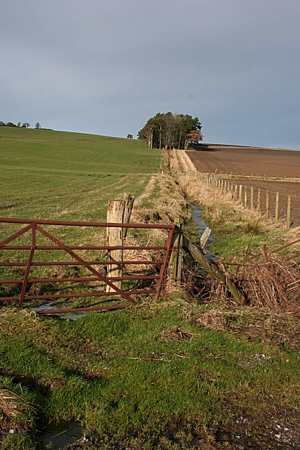
Image: © Anne Burgess Taken: 30 Jan 2008
The burn almost certainly marks the march between Mains of Drummuir to the left and Bomakelloch to the right. The stand of trees is in an adjacent square.
Images are licensed for reuse under creativecommons.org/licenses/by-sa/2.0
Image Location


Leaflet Map data © OpenStreetMap
Latitude
57.489751
Longitude
-2.985503