Shillingford Hill Home Park
Introduction
The photograph on this page of Shillingford Hill Home Park by Bill Boaden as part of the Geograph project.
The Geograph project started in 2005 with the aim of publishing, organising and preserving representative images for every square kilometre of Great Britain, Ireland and the Isle of Man.

There are currently over 7.5m images from over 14,400 individuals and you can help contribute to the project by visiting https://www.geograph.org.uk
Shillingford Hill Home Park
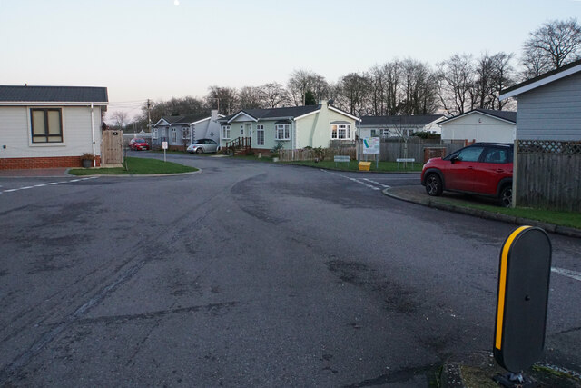
Image: © Bill Boaden Taken: 27 Dec 2020
Described as a caravan park on the map, this park is comprised mostly of lodges, but there are caravans down by the river.
Images are licensed for reuse under creativecommons.org/licenses/by-sa/2.0
Image Location
Latitude
51.621573
Longitude
-1.136301