The Thames Path near Shillingford Bridge
Introduction
The photograph on this page of The Thames Path near Shillingford Bridge by Bill Boaden as part of the Geograph project.
The Geograph project started in 2005 with the aim of publishing, organising and preserving representative images for every square kilometre of Great Britain, Ireland and the Isle of Man.

There are currently over 7.5m images from over 14,400 individuals and you can help contribute to the project by visiting https://www.geograph.org.uk
The Thames Path near Shillingford Bridge
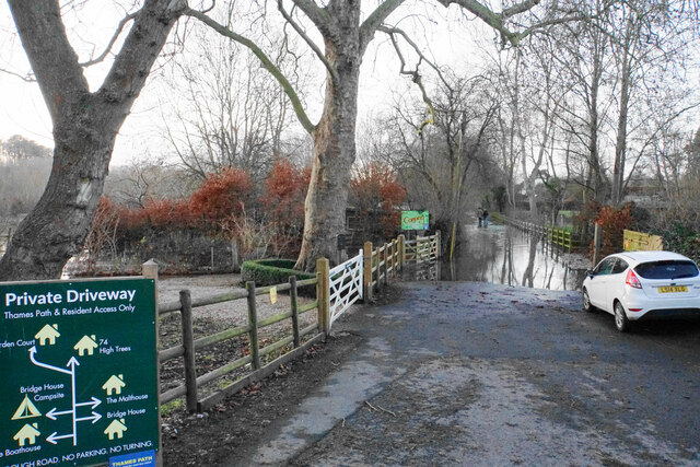
Image: © Bill Boaden Taken: 27 Dec 2020
The lane also provides access to residences. There are people standing in the lane so perhaps the first part is not too deep.
Images are licensed for reuse under creativecommons.org/licenses/by-sa/2.0
Image Location


Leaflet Map data © OpenStreetMap
Latitude
51.625377
Longitude
-1.139985