Fields on the edge of Dorchester
Introduction
The photograph on this page of Fields on the edge of Dorchester by Bill Boaden as part of the Geograph project.
The Geograph project started in 2005 with the aim of publishing, organising and preserving representative images for every square kilometre of Great Britain, Ireland and the Isle of Man.

There are currently over 7.5m images from over 14,400 individuals and you can help contribute to the project by visiting https://www.geograph.org.uk
Fields on the edge of Dorchester
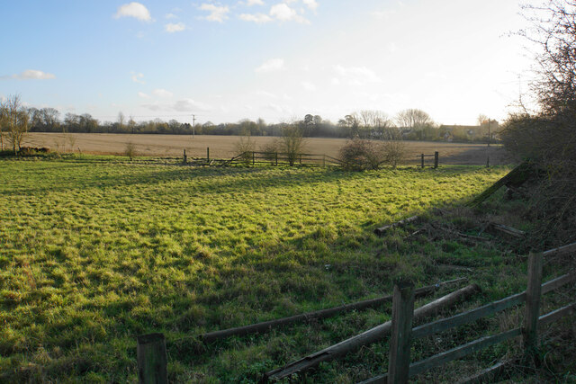
Image: © Bill Boaden Taken: 27 Dec 2020
The profile of Dorchester Abbey is seen on the right. The land lies between the town and the bypass, and you wonder how long it will survive in this form.
Images are licensed for reuse under creativecommons.org/licenses/by-sa/2.0
Image Location


Leaflet Map data © OpenStreetMap
Latitude
51.648104
Longitude
-1.161958