Great Tattenhams
Introduction
The photograph on this page of Great Tattenhams by Ian Capper as part of the Geograph project.
The Geograph project started in 2005 with the aim of publishing, organising and preserving representative images for every square kilometre of Great Britain, Ireland and the Isle of Man.

There are currently over 7.5m images from over 14,400 individuals and you can help contribute to the project by visiting https://www.geograph.org.uk
Great Tattenhams
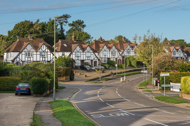
Image: © Ian Capper Taken: 9 Oct 2020
c1930s housing. The road is shown without any development on the 1934 1:2,500 map but with outline development on the 1938-45 1:10,560 map.
Images are licensed for reuse under creativecommons.org/licenses/by-sa/2.0
Image Location
Latitude
51.308067
Longitude
-0.236669