Burley Lane approaching the railway bridge
Introduction
The photograph on this page of Burley Lane approaching the railway bridge by Stephen Craven as part of the Geograph project.
The Geograph project started in 2005 with the aim of publishing, organising and preserving representative images for every square kilometre of Great Britain, Ireland and the Isle of Man.

There are currently over 7.5m images from over 14,400 individuals and you can help contribute to the project by visiting https://www.geograph.org.uk
Burley Lane approaching the railway bridge
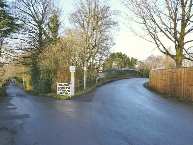
Image: © Stephen Craven Taken: 30 Dec 2020
There is a spot height of 114 metres on the map at this point. To the left is Clarence Drive, a private road.
Images are licensed for reuse under creativecommons.org/licenses/by-sa/2.0
Image Location
Latitude
53.896673
Longitude
-1.745678