Path to Murroch Crescent
Introduction
The photograph on this page of Path to Murroch Crescent by Lairich Rig as part of the Geograph project.
The Geograph project started in 2005 with the aim of publishing, organising and preserving representative images for every square kilometre of Great Britain, Ireland and the Isle of Man.

There are currently over 7.5m images from over 14,400 individuals and you can help contribute to the project by visiting https://www.geograph.org.uk
Path to Murroch Crescent
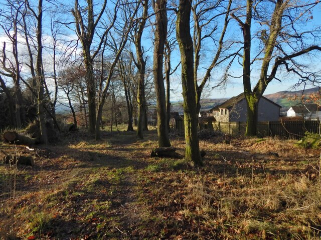
Image: © Lairich Rig Taken: 24 Dec 2020
As the map shows, the Red Burn flows parallel to and not far to the left (southeast) of the path.
Images are licensed for reuse under creativecommons.org/licenses/by-sa/2.0
Image Location
Latitude
55.974229
Longitude
-4.554803