Moulton features [8]
Introduction
The photograph on this page of Moulton features [8] by Michael Dibb as part of the Geograph project.
The Geograph project started in 2005 with the aim of publishing, organising and preserving representative images for every square kilometre of Great Britain, Ireland and the Isle of Man.

There are currently over 7.5m images from over 14,400 individuals and you can help contribute to the project by visiting https://www.geograph.org.uk
Moulton features [8]
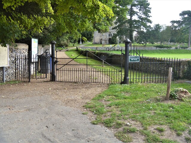
Image: © Michael Dibb Taken: 9 Sep 2020
The lane leading to the church of St Peter is closed by these fine mid 19th century wrought iron gates, with moulded cast iron piers and pedestrian and carriage gates, complete with wrought iron overthrows. Moulton is a small village some 3 miles east of Newmarket and was settled in Saxon times. The River Kennett flows through the village and a 15th-century packhorse bridge spans the river.
Images are licensed for reuse under creativecommons.org/licenses/by-sa/2.0
Image Location
Latitude
52.248852
Longitude
0.487232