Meadow near Hole Bridge
Introduction
The photograph on this page of Meadow near Hole Bridge by Derek Harper as part of the Geograph project.
The Geograph project started in 2005 with the aim of publishing, organising and preserving representative images for every square kilometre of Great Britain, Ireland and the Isle of Man.

There are currently over 7.5m images from over 14,400 individuals and you can help contribute to the project by visiting https://www.geograph.org.uk
Meadow near Hole Bridge
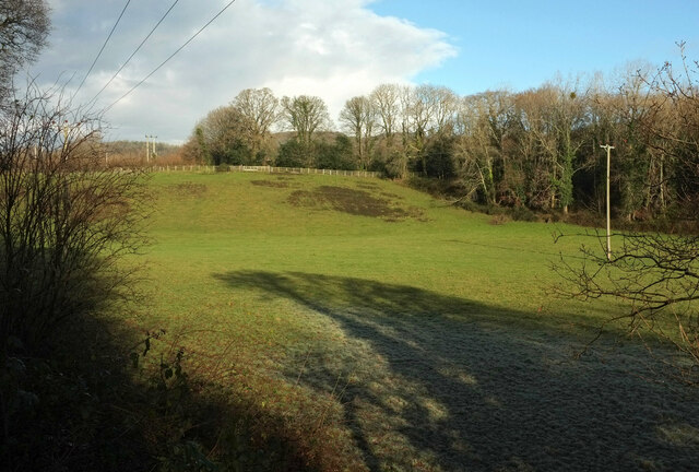
Image: © Derek Harper Taken: 31 Dec 2020
A view from the Dartmoor Way and Wray Valley Trail on the former railway. The trees on the right obscure the A382 Monks Way. Frost remains around the shadow of nearby trees.
Images are licensed for reuse under creativecommons.org/licenses/by-sa/2.0
Image Location
Latitude
50.597025
Longitude
-3.682868