Path to Beechwood Drive
Introduction
The photograph on this page of Path to Beechwood Drive by Lairich Rig as part of the Geograph project.
The Geograph project started in 2005 with the aim of publishing, organising and preserving representative images for every square kilometre of Great Britain, Ireland and the Isle of Man.

There are currently over 7.5m images from over 14,400 individuals and you can help contribute to the project by visiting https://www.geograph.org.uk
Path to Beechwood Drive
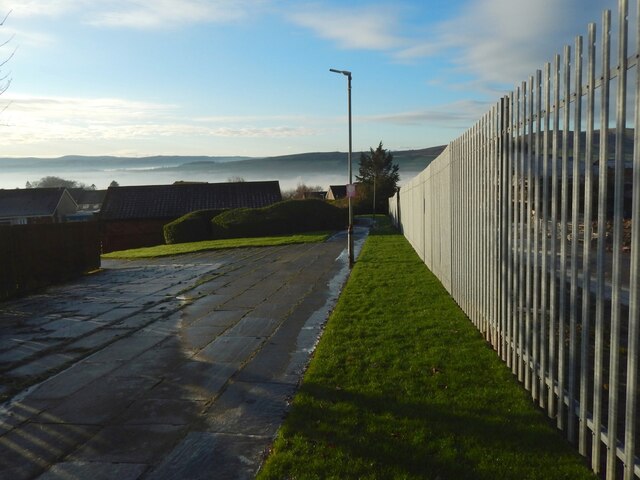
Image: © Lairich Rig Taken: 6 Dec 2020
The construction site described in the end-note is behind the fence, as is distant Carman Hill. Some of the hills on the left are on this side of the Clyde, others on the far side. See Image for the opposite view along the path (Beechwood Drive is at both ends).
Images are licensed for reuse under creativecommons.org/licenses/by-sa/2.0
Image Location
Latitude
55.97517
Longitude
-4.557109