56 - 62 Holywell Hill
Introduction
The photograph on this page of 56 - 62 Holywell Hill by Ian Capper as part of the Geograph project.
The Geograph project started in 2005 with the aim of publishing, organising and preserving representative images for every square kilometre of Great Britain, Ireland and the Isle of Man.

There are currently over 7.5m images from over 14,400 individuals and you can help contribute to the project by visiting https://www.geograph.org.uk
56 - 62 Holywell Hill
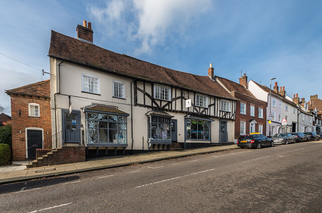
Image: © Ian Capper Taken: 13 Nov 2020
Group of buildings on Holywell Hill, dating originally from the 16th/17th Centuries and all grade II listed: for nos 58 - 62, from left to right of centre in the photo, see www.historicengland.org.uk/listing/the-list/list-entry/1173500 and for no 50, on the right, behind the first car, see www.historicengland.org.uk/listing/the-list/list-entry/1347147.
Images are licensed for reuse under creativecommons.org/licenses/by-sa/2.0
Image Location
Latitude
51.749025
Longitude
-0.340963