Craigdhu Burn
Introduction
The photograph on this page of Craigdhu Burn by Richard Sutcliffe as part of the Geograph project.
The Geograph project started in 2005 with the aim of publishing, organising and preserving representative images for every square kilometre of Great Britain, Ireland and the Isle of Man.

There are currently over 7.5m images from over 14,400 individuals and you can help contribute to the project by visiting https://www.geograph.org.uk
Craigdhu Burn
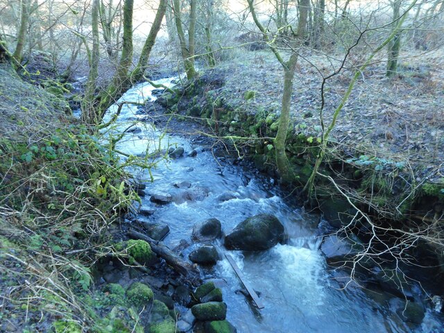
Image: © Richard Sutcliffe Taken: 1 Jan 2021
Many of the boulders in the burn have come from the man-made banks, which have been washed out of their original positions. In the 19th Century the burn fed a small dam downstream from this point, which provided a water supply for the Burnbrae Dye Works beside Milngavie Road.
Images are licensed for reuse under creativecommons.org/licenses/by-sa/2.0
Image Location
Latitude
55.930834
Longitude
-4.322517