The road to Bude
Introduction
The photograph on this page of The road to Bude by HelenK as part of the Geograph project.
The Geograph project started in 2005 with the aim of publishing, organising and preserving representative images for every square kilometre of Great Britain, Ireland and the Isle of Man.

There are currently over 7.5m images from over 14,400 individuals and you can help contribute to the project by visiting https://www.geograph.org.uk
The road to Bude
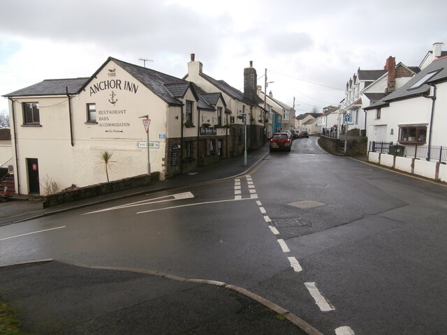
Image: © HelenK Taken: 24 Dec 2020
Looking westwards down Fore Street, Hartland. The Anchor Inn http://www.theanchorinnhartland.co.uk/ occupies a prominent position on the street corner. Hartland has a one-way system which loops through most of the village, starting at this junction with the left turn into Fore Street from the Bude road.
Images are licensed for reuse under creativecommons.org/licenses/by-sa/2.0
Image Location
Latitude
50.991485
Longitude
-4.479432