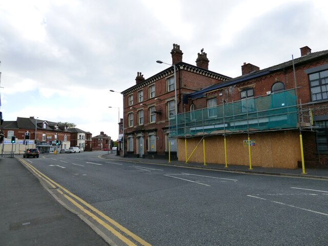
Shaw Heath
Introduction
The photograph on this page of Shaw Heath by Gerald England as part of the Geograph project.
The Geograph project started in 2005 with the aim of publishing, organising and preserving representative images for every square kilometre of Great Britain, Ireland and the Isle of Man.
There are currently over 7.5m images from over 14,400 individuals and you can help contribute to the project by visiting https://www.geograph.org.uk

Image: © Gerald England Taken: 29 Sep 2018
The B5465* approaching the junction with Longshut Lane West. On the right is the boarded-up Robinson's pub The Florist and next to it the former Cheshire Model Supplies shop. Both are earmarked for conversion to residential use. * Update 2020: Current mapping now shows the B5465 applied to the previously unclassified Greek Street and Waterloo Road from Edgeley to the A626 (A6188) on St Mary's Way. Shaw Heath seems to have been given the designation B6184 continuing through Cale Green until it meets the A5102. Longshut Lane West appears to be now unclassified.

