Mixed Terraced Housing on Thornton Road, Bradford
Introduction
The photograph on this page of Mixed Terraced Housing on Thornton Road, Bradford by Stephen Armstrong as part of the Geograph project.
The Geograph project started in 2005 with the aim of publishing, organising and preserving representative images for every square kilometre of Great Britain, Ireland and the Isle of Man.

There are currently over 7.5m images from over 14,400 individuals and you can help contribute to the project by visiting https://www.geograph.org.uk
Mixed Terraced Housing on Thornton Road, Bradford
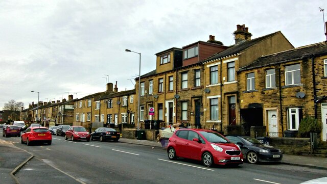
Image: © Stephen Armstrong Taken: 22 Dec 2020
An assortment of terraced houses and cottages on Thornton Road, near Four Lane Ends.
Images are licensed for reuse under creativecommons.org/licenses/by-sa/2.0
Image Location


Leaflet Map data © OpenStreetMap
Latitude
53.799063
Longitude
-1.791512